Bianca Champenois SM ’22 Helps Model the Future for Coastal Industries
Mechanical engineering PhD student looks at geophysical systems of land, air, and water to track ocean acidification
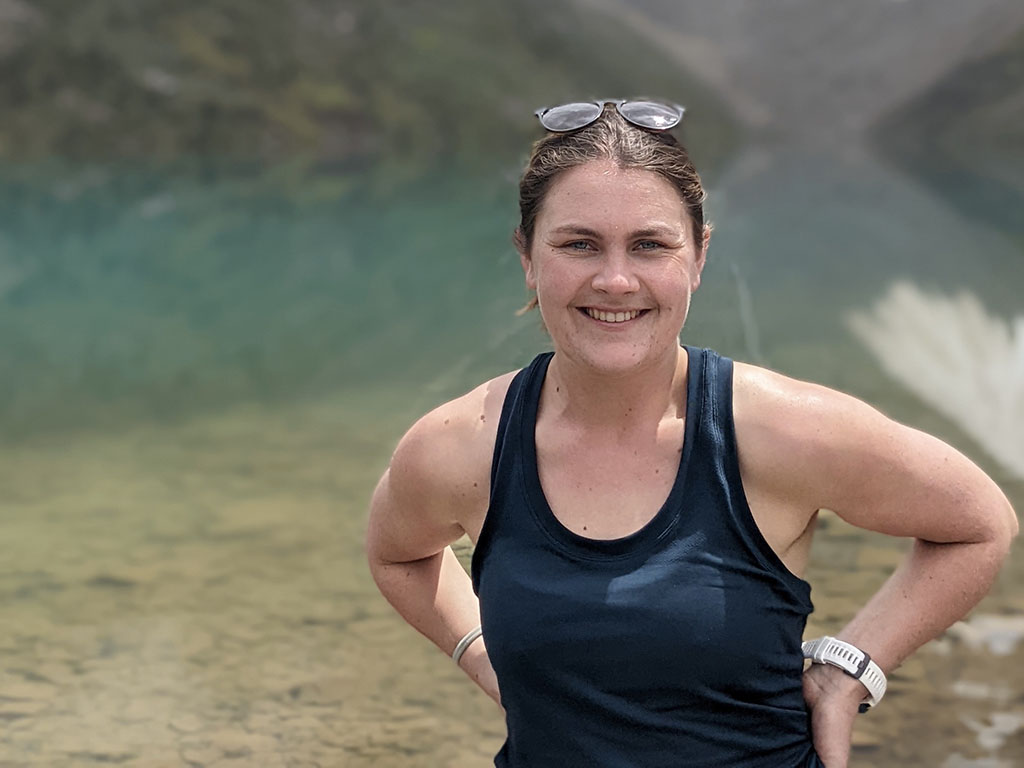
BIANCA CHAMPENOIS SM ’22 LOOKS AT A DIGITAL MAP OF MASSACHUSETTS BAY speckled with dozens of maroon, blue, gray, purple, and orange dots. The dots represent continually shifting temperatures at the surface and at various depths, as measured by satellites and sensors mounted on buoys, clipped to lobster pots, and dangled from boats. In an innovative new project, Champenois, a PhD candidate in mechanical engineering, uses these data points to model conditions affecting acidity, a growing problem for the bay, according to the 2021 Report on the Ocean Acidification Crisis in Massachusetts.
Recreational and commercial saltwater fishing, shell fishing, and whale watching along the 60 miles of coastal waters are vital to the Massachusetts economy. Last year’s report from the state’s Special Legislative Commission on Ocean Acidification notes that these multimillion-dollar industries are adversely affected by changing ocean chemistry tied to human activities.
Working with the MIT Sea Grant College Program, which applies MIT research and engineering to ocean-related challenges, Champenois is developing a real-time monitoring system to track ocean acidification from the bay’s northernmost edge at Cape Ann down through Boston Harbor and ending at the vast flexed elbow of the outer Cape Cod.
With Themis Sapsis PhD ’11, professor of mechanical and ocean engineering, Champenois works on new frameworks for modeling geophysical systems of land, air, and water. “My goal is to intelligently use available data and provide more informed estimates of uncertainty,” she says.
“Satellite measurements can give you temperature data, but that’s only at the surface,” Champenois says. “We use a combination of physics and physics-based numerical simulations, along with new machine-learning techniques and data obtained from comprehensive ocean models, to predict the 3-D temperature field of the bay over depth and time.”
The models, she says, will lead to a “better-informed understanding of ocean acidification.” Measuring temperature at different depths is key because warm water tends to acidify faster.
According to the US Environmental Protection Agency, ocean acidity has risen around 25% since preindustrial times. The increasing amount of atmospheric carbon dioxide dissolved in the water forms carbonic acid, making seawater more acidic and negatively impacting marine life such as scallops and oysters, which use carbonate from the water to build shells.
As seawater becomes more acidic, carbonate is less available. In addition, freshwater runoff from cities, factories, and farms “changes the ocean’s ability to maintain its own optimal pH, so it actually worsens the effects of ocean acidification,” Champenois says.
Champenois aims to predict properties of the water at all locations and depths, not just at the surface. Satellite data are useful but problematic: “If it’s cloudy, you can’t get any data. So, in the winter, your data are a lot worse,” she says. “And even in the summer, some patches of the ocean will have fewer data.”
A web-based visualization tool called Sea Glass will make Champenois’s results available to stakeholders such as research scientists, industry analysts, and the US Coast Guard. “High school students, or anyone who’s interested, can also have access,” she says.
Champenois grew up in California, spending summers at her grandfather’s home on the West Coast of France, where the main industry is collecting sea salt for the gourmet market at high tide. “My family is definitely an ocean family,” she says.
As an undergraduate at the University of California at Berkeley, she worked on environmental fluid mechanics. When Covid-19 hit, she delayed her move to Boston to start the MIT graduate program. Instead, she headed to Santa Barbara, took classes virtually, and learned how to surf. “It was really fun to learn about the hydrodynamic period of the waves and then go surfing and see it for myself,” she laughs. Now, she’s excited to expand her knowledge and skills to encompass the East Coast.
As global needs for food increase, coastal industries may need to move their operations further offshore. There is little data on how fish farms, for instance, will function in these different flow and temperature conditions, and how to best monitor them.
Champenois hopes to extend the techniques she’s developing to measure dissolved oxygen and carbon, allowing stakeholders to assess and predict conditions for new initiatives far into the open ocean, pushing ahead into uncharted waters.


